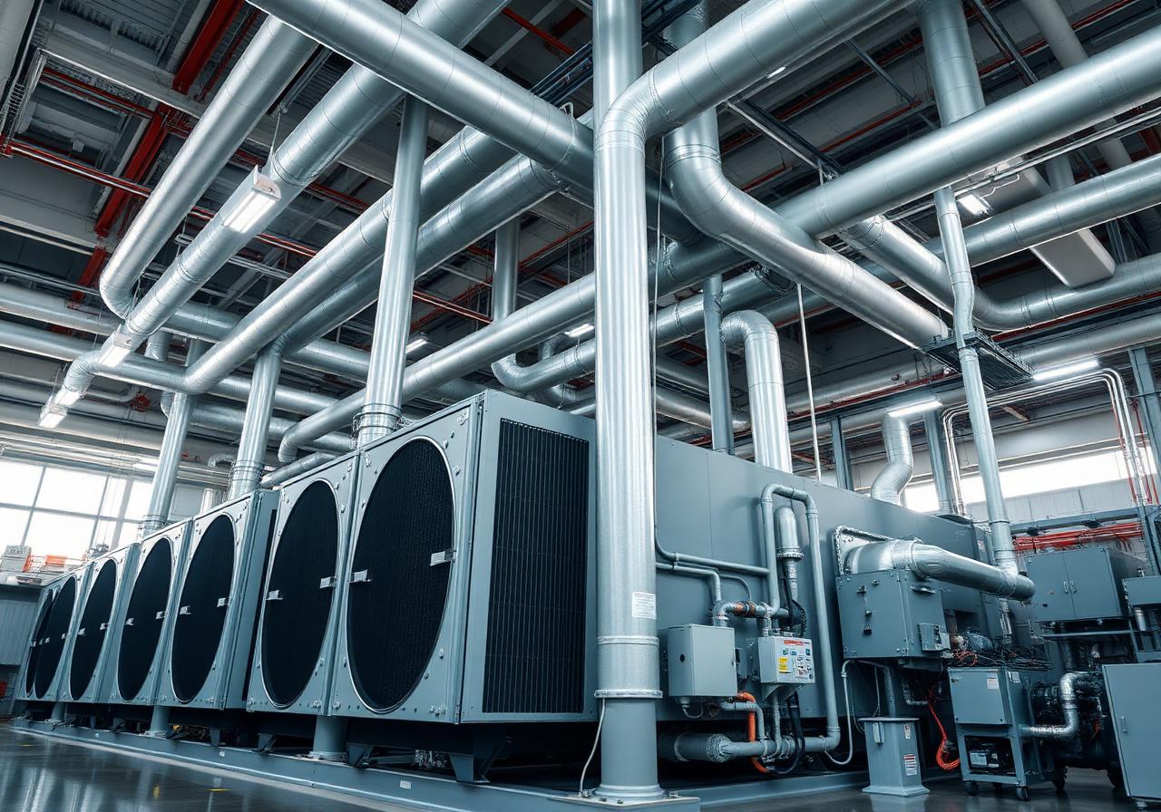
Central Utility Plant — Existing Conditions Capture
Survey-grade laser scanning and verified-as-built documentation of a 1970s-era central utility plant supporting a campus modernization program.
Central Utility PlantMidwest USQ3 2025 – Q1 2026
65,000 sf
Plant area
480
Scan setups
4 mm
Accuracy
0 hours
Operational downtime
Mission Critical & UtilitiesRepresentative Project
The challenge
What we were solving for.
Five decades of additions and tie-ins left the plant with no reliable record drawings.
Capture had to occur around continuous plant operations with no service interruption permitted.
Our approach
How BimCon delivered.
- Mobilized NFPA 70E-trained crews working around energized equipment and arc-flash boundaries.
- Registered the full plant to a single coordinate system tied to the campus survey datum.
Scope of work
What BimCon delivered.
Reality capture
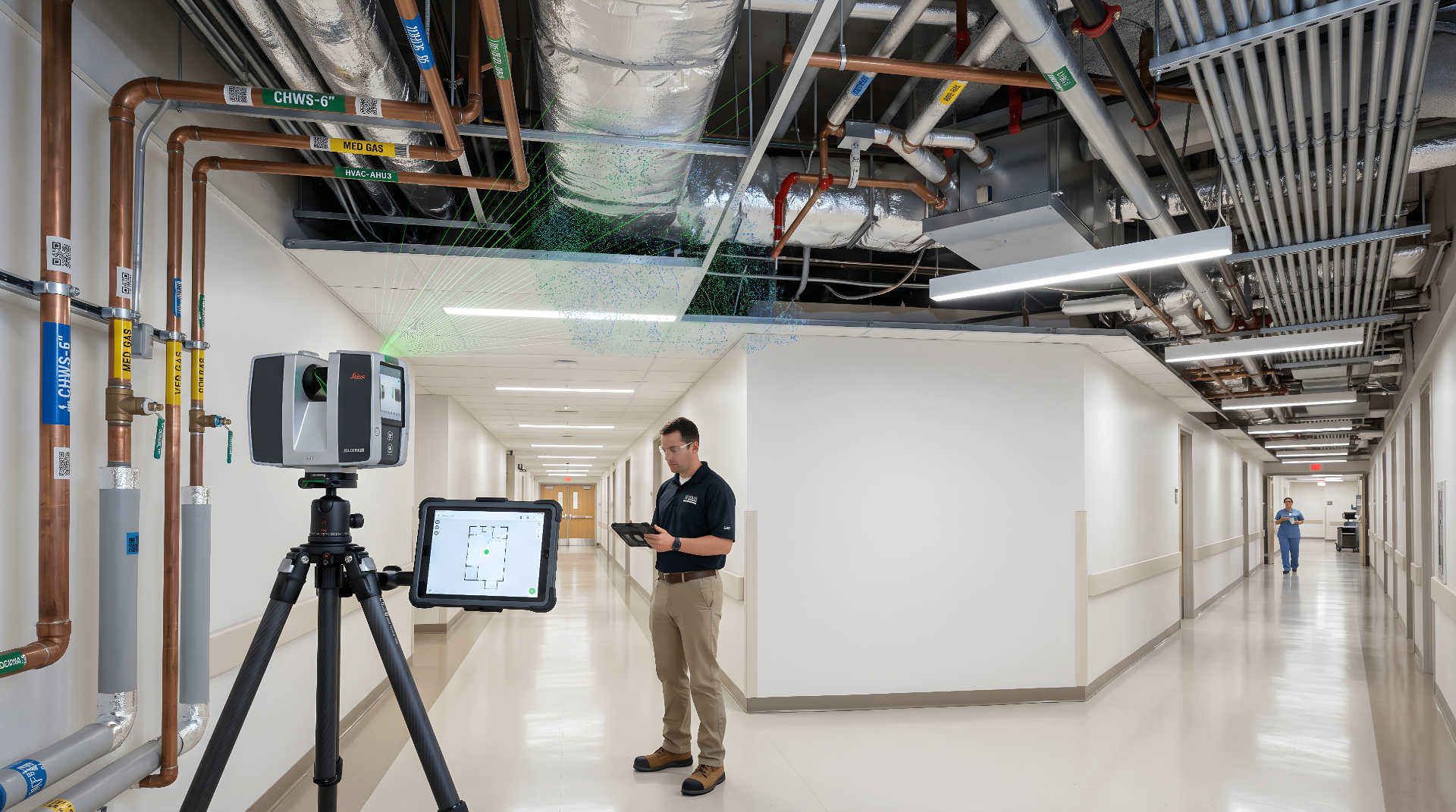
Survey-grade terrestrial and mobile LiDAR capture, registered to a unified coordinate system.
As-built documentation
Verified-as-built drawing and model package covering existing conditions and tie-in zones.
Deliverables
In your hands.
- Registered point cloud (.RCP / .RCS)
- E57 / LAS / PTS exports
- HDR 360° panoramas registered to scan stations
- Existing conditions documentation set
- Tie-in zone interface drawings
By the numbers
Project metrics.
65,000 sf
Plant area
480
Scan setups
4 mm
Accuracy
Related work
More from Mission Critical & Utilities.

Have a project like this?
Send us your scope and we'll respond within one business day with a quote and a timeline.
Request Project Review
Response within one business day.
Confidential · NDA-ready · Nationwide deployment