Skip to content

    3D Laser Scanning & Reality Capture

    Survey-grade documentation of any environment, captured in days. The foundation every accurate model is built on.
    Service overview

    3D Laser Scanning

    Millimeter-accurate reality capture for any facility, anywhere in the country.

    3D Laser Scanning — BimCon Solutions
    2–4 mm
    Survey-grade accuracy
    48 hr
    Quote turnaround

    01 — What it is

    How 3d laser scanning actually works

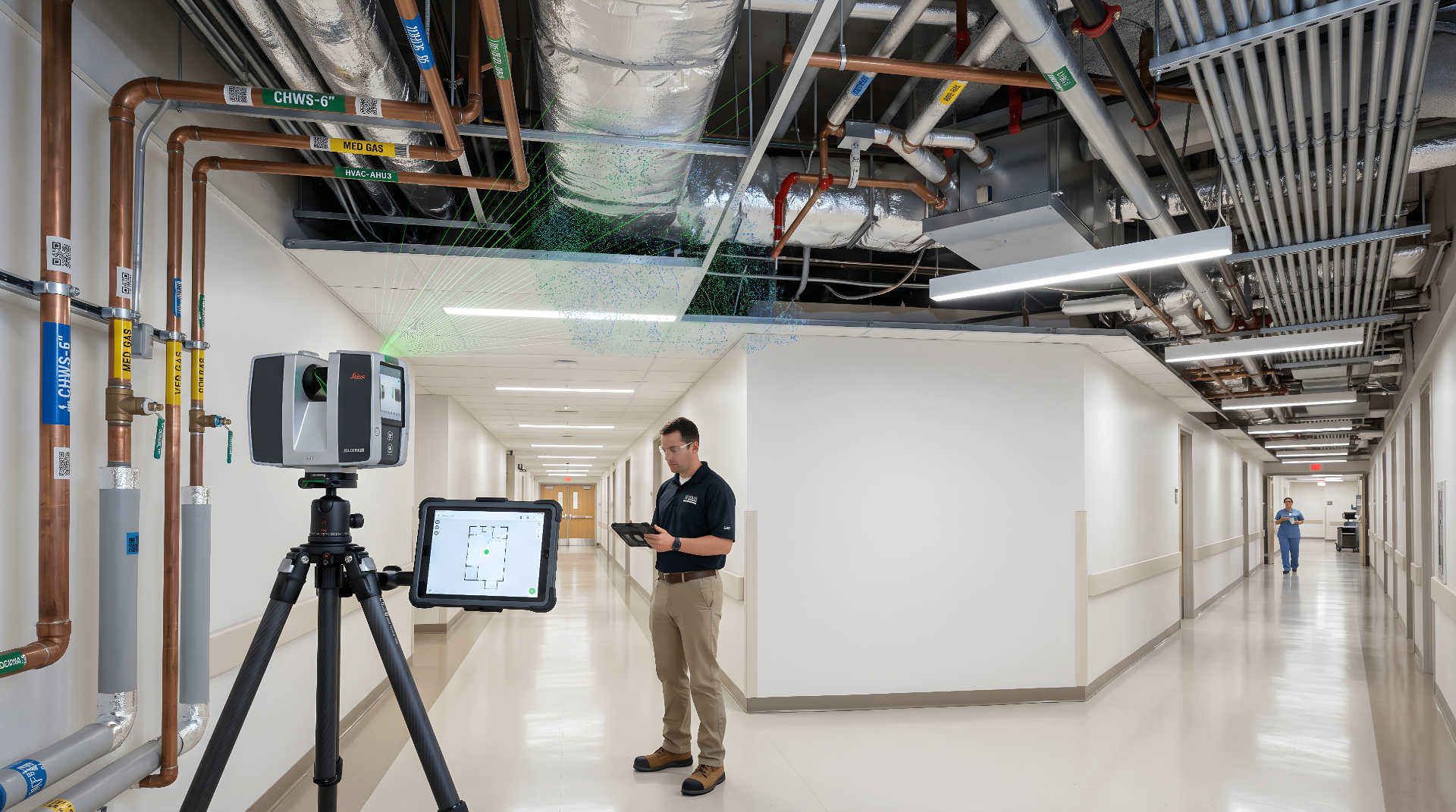
    3D laser scanning captures the existing geometry of a building, site, or facility as a dense point cloud — millions of measured 3D coordinates, accurate to 2–4 millimeters. The result is a permanent, verifiable record of as-built conditions: every wall, beam, conduit run, valve, and structural element, exactly where it actually is.

    We deploy the right tool for the environment. Terrestrial scanners for stationary, high-accuracy capture. Mobile SLAM systems for large or occupied spaces where speed matters. Drone-mounted LiDAR for rooftops, building exteriors, and large sites. Photogrammetry for facade and architectural detail.

    Deliverables

    02 — What you get

    Deliverables in your standard formats

    Registered point clouds and documentation, in your standard formats.

    • Registered point cloud in RCP, E57, LAS, or PTS format
    • TruView and 360° panoramic imagery for remote walk-throughs
    • Optional 2D CAD plans, sections, and elevations
    • Optional 3D mesh model
    • Site coordination documentation (control points, registration report, accuracy certification)
    Project types

    Where this service fits

    Use this service when accuracy, coordination, and downstream construction decisions depend on a reliable model.

    Pre-design site documentation
    Renovation and retrofit planning
    Facility asset management
    Construction progress verification
    Litigation and forensic documentation
    Historic preservation
    Tools & workflows

    Technology stack

    Built around the platforms project teams already use for modeling, coordination, point cloud processing, and delivery.

    Reality Capture

    Hardware used on-site to capture millimeter-accurate point clouds for your deliverable dataset.

    Modeling

    Registration and processing software that converts raw scans into unified, geo-referenced point clouds.

    How it works

    Our process

    A repeatable, auditable workflow from kickoff to handoff — refined across hundreds of mission-critical engagements.

    01

    Pre-scan planning

    We review your scope, identify control point requirements, and coordinate site access and security.

    02

    Field capture

    Scan crews mobilize with the appropriate equipment and document the site against verified control.

    03

    Registration

    Raw scans are aligned in Cyclone REGISTER 360 or Trimble RealWorks. We deliver a registration report with closure tolerances.

    04

    Delivery

    You receive your point cloud in the formats and structure you specified, ready to drop into Revit, AutoCAD, or your platform of choice.

    Common questions

    FAQs

    Common questions about scope, accuracy, and delivery.

    3D Laser Scanning · enterprise delivery

    3D Laser Scanning delivered like a national BIM/VDC partner.

    The same survey-grade capture, modeled deliverables, federated coordination, and QA process we run on mission-critical and public-sector programs — scoped to your 3d laser scanning engagement.

    2–4 mm

    Typical scan accuracy

    Survey-grade laser capture

    <24 hrs

    Quote & scope turnaround

    On qualified RFPs

    48–72 hrs

    Field crew mobilization

    National coverage

    40+

    Project types delivered

    Across 7 verticals

    Project types we run end-to-end

    The same crews, standards, and QA process whether it's a 5,000 sf tenant fit-out or a campus-scale capital program.

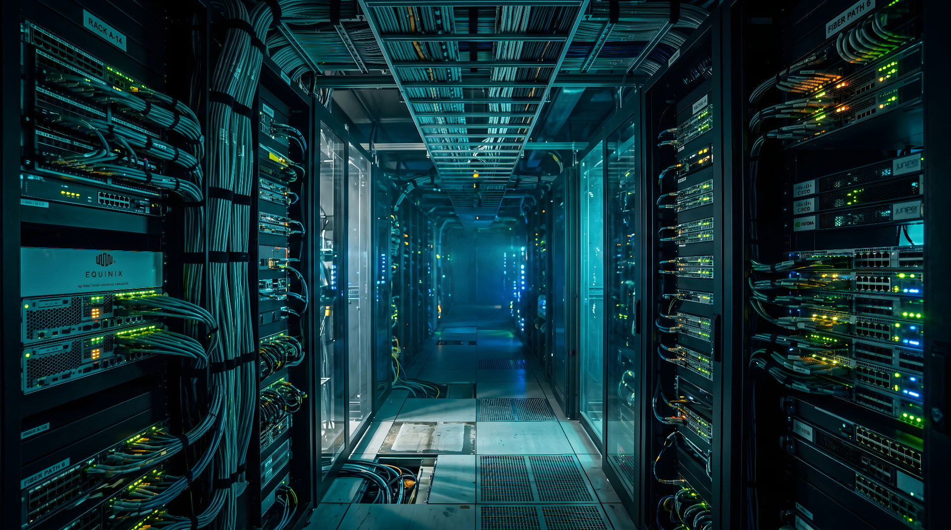
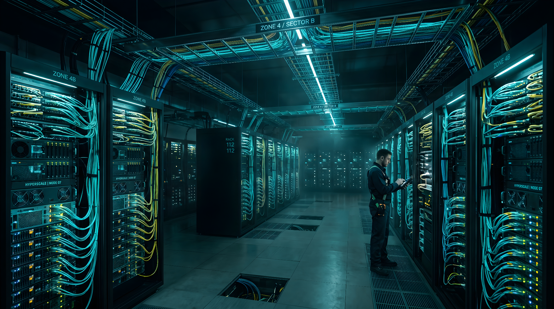
    Mission-critical & data centers

    MEP-dense scans, white-space coordination, and as-built models for hyperscale and colo retrofits.

    Healthcare & life sciences

    Active-facility scanning with infection-control protocols, plus coordinated MEP/FP for renovations and additions.

    Industrial & manufacturing

    Process piping, conveyor lines, and structural verification for retooling, expansions, and prefabrication.

    Commercial & multi-site

    Repeatable capture and modeling programs for portfolios, tenant fit-outs, and brand-standard rollouts.

    Government & public sector

    Cleared workflows, NDAs, and CAD/BIM standards for federal, DOD-adjacent, and municipal facility programs.

    Higher ed & K–12 campuses

    Campus-wide as-builts, utility tunnels, and MEP rooms for capital planning and deferred-maintenance work.

    What shows up in the handoff

    Every engagement ends with a documented, versioned deliverable package — not a folder of loose files.

    • Federated Revit model
      Multi-discipline, coordinated
      RVT · IFC · NWD
    • Registered point cloud
      Survey-grade existing conditions
      RCP · E57 · LAS
    • 2D as-built drawings
      Plans, sections, elevations
      DWG · PDF · PLN
    • 360° walkthroughs
      Web-hosted, shareable
      TruView · NavVis · Matterport
    • Site & floor orthos
      Geo-referenced
      GeoTIFF · PDF
    • QA / accuracy report
      Per scope, audit-ready
      PDF · CSV

    Sample workflow

    One repeatable, auditable path from field capture to a coordinated, owner-ready model.

    1. Step 01

      Scope

      Walk the site (or its drawings) with you to lock area, access window, accuracy target, and scan density.

    2. Step 02

      Scan

      Survey-grade laser capture by trained crews on a route designed for your access window — including nights, weekends, and shutdowns.

    3. Step 03

      Register

      Scans are registered, geo-referenced to your control, and QA'd to a verified accuracy threshold.

    4. Step 04

      Process

      Cleaned, classified point cloud delivered in RCP, plus E57/LAS on request.

    5. Step 05

      Deliver

      Hand off the registered cloud, control documentation, and a QA / accuracy report you can audit.

    Standards, certifications, and QA you can audit.

    We document credentials, name the standards we operate to, and ship a QA report on every project — so procurement, legal, and engineering all see the same proof.

    Certifications & credentials

    • Insured & bonded
      $2M general liability · project bonding available
    • OSHA 30 field crews
      Site-safety trained scan technicians
    • NDA & background-cleared
      Mission-critical, healthcare, & gov-adjacent ready

    Industry standards we operate to

    • ISO 19650 aligned
      Information management for BIM delivery
    • US National BIM Standard
      NBIMS-US v3 modeling conventions
    • USIBD LOA framework
      Documented accuracy per deliverable

    QA process indicators

    • Per-project QA report
      Registration accuracy + control documentation
    • Two-person model review
      Discipline lead + independent QC pass
    • Versioned deliverables
      Tracked revisions, model audit trail

    Specific certificates of insurance, signed NDAs, and the BIM Execution Plan we'll operate under can be provided on request during scoping.

    Scan-to-BIM, LOD, and turnaround — answered.

    The questions enterprise owners, GCs, and design teams ask before scoping a capture or modeling engagement.

    Need 3d laser scanning on your next project?

    Get a scoped 3d laser scanning quote in one business day.

    Send us the building, schedule, and trades involved. We'll respond with a scoped quote, accuracy target, and a recommended capture and modeling approach.

    3D Laser Scanning Services — BimCon Solutions

    BimCon Solutions provides 3d laser scanning services for data centers, semiconductor fabs, healthcare facilities, and commercial buildings nationwide. Millimeter-accurate reality capture for any facility, anywhere in the country.

    Terrestrial laser scanningMobile mappingControl network establishment & total station tie-inHDR imagery and 360° panoramas registered to point cloudCleanroom and live-environment scanning protocols

    BimCon Solutions

    BIM · VDC · Reality Capture

    Location
    Sioux Falls, SD 57104 · Nationwide
    Request a Scanning Quote

    Ready to capture your site?

    Quote within one business day. Mobilization within one week on most projects.

    Request a Scanning Quote

    Response within one business day.

    Confidential · NDA-ready · Nationwide deployment